Islands in Britain Map
The British Isles are a series of islands. Britain itself is the largest island in Europe and the 9th largest island in the world.
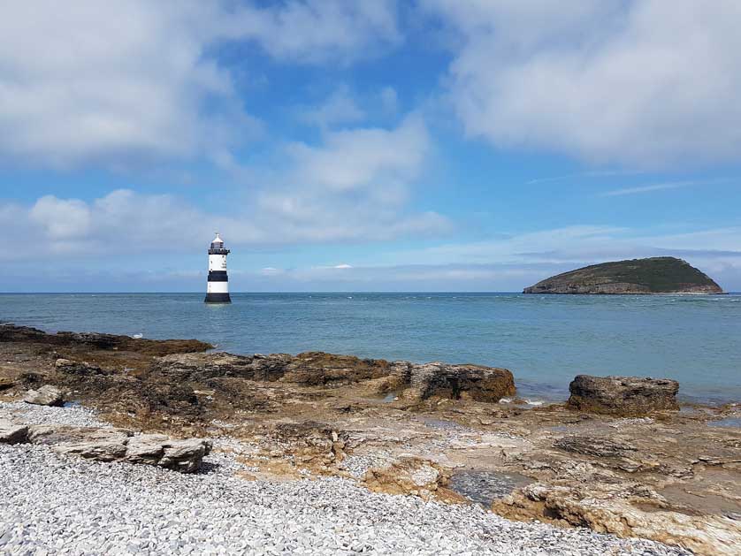
The largest island off the coast of England is the Isle of Wight. Lewis and Harris is the largest island in Scotland and the Isle of Anglesey is the biggest offshore island in Wales.
Altogether it is estimated there are between 6,289 to 7,700 islands in total off the British coastline.
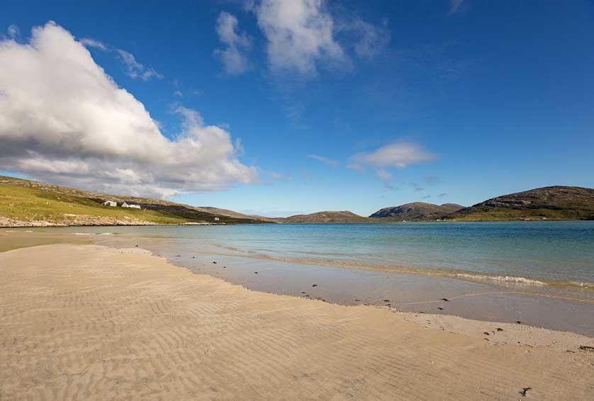
Many are blessed with spectacular beaches and better weather than the mainland. Several islands in the British Isles have their own micro-climate and two, the Isle of Man and the Isle of Wight are listed as UNESCO biospheres.
Use this map of British islands to plan your next offshore, get away from it all vacation in the British Isles.
Islands Listed
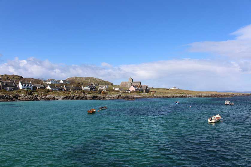
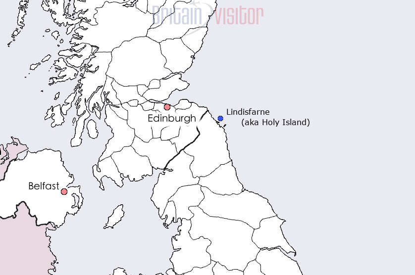
Islands in Britain listed include Anglesey in North Wales, the Channel Islands, Iona, the Hebrides, the Isle of Man, Lindisfarne, Mull, Orkney, the Isle of Wight, Lindisfarne, the Scilly Islands off the coast of Cornwall, the Shetland Islands and Skye in Scotland.
This map of Britain shows the location of many of the islands in the UK.



Hotels in the UK
Book Hotels in England - Booking.com
Find Accommodation in London - Booking.com
Search Hotels in Scotland - Booking.com
Hotels in Northern Ireland - Booking.com