Maps of Britain: Map of Exeter

Exeter Map
See a map of Exeter in the southwest of England.
Exeter is the gateway to Dartmoor and Cornwall and easily reached by train from nearby Bristol, as well as the major cities of Birmingham and London. The M5 motorway connects Exeter to Bristol.
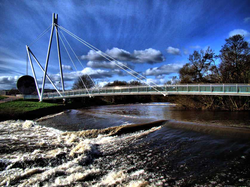
Places on this map of the city include Castle Drogo, Exeter Cathedral, Exeter University, Exeter Airport, and St David’s Station, and other Devon attractions. These include The Quay, the Rougemont Castle and Gardens and Miller's Crossing Bridge.
Close to Exeter are the towns and villages of Chudleigh, Ottery St Mary, Seaton, Tavistock, Teignmouth and Widecombe-in-the-Moor.



Exeter Map Details
Find airports, canals, castles, cathedrals, churches and other places of worship, hotels, galleries, golf courses, lakes, National Trust properties, motorways, mountains, museums, parks (including National Parks), pubs, restaurants, rivers, sports stadiums, stations for both buses and trains as well as universities with further information and images available by clicking on the icons on the map.
Hotels in the South West of England & Wales
Book Hotels in Bath - Agoda.com
Find Hotels in Bradford on Avon - Booking.com
Search Hotels in Cardiff - Booking.com
Recommended Hotels in Exeter - Agoda.com
Book Hotels in Salisbury - Agoda.com
Hotels in London - Booking.com
Hotels in England - Booking.com
Bath Hop-On Hop-Off Sightseeing Bus (Open Top)
The Hidden Cotswolds and The Making of England Day Tour from Bath