Maps of Britain: Map of Anglesey & North Wales
See a map of Anglesey and North Wales, an area easily reached from the nearby cities of Birmingham, Chester, Manchester and Liverpool in England. All are nearer to North Wales than the Welsh capital Cardiff in the southwest of the Principality. The nearest Welsh cities of size are Aberystwyth and Wrexham.
Places on this map of Anglesey and Wales include the seaside resorts of Llandudno, Colwyn Bay and Rhos-on-Sea. Other places of interest are the historic Menai Bridges, the castles at Beaumaris, Conwy, Caernarfon, Dolbadarn and Harlech and the picturesque small town of Llangollen.
Plas Newyyd is an historic country house set in lovely gardens which along with Bodnant Garden near Llanrwst are the two best gardens in North Wales.
Other attractions in North Wales are the Victorian-era Llandudno Pier, the Great Orme and the Great Orme Tramway. The Snowdonia National Park takes up much of the interior. It is the largest National Park in Wales, with the highest mountain in England and Wales, Mount Snowdon as well as the largest natural lake in Wales, Llyn Tegid (Bala Lake).
Map Details
Find airports, canals, castles, cathedrals, churches and other places of worship, hotels, galleries, golf courses, lakes, National Trust properties, motorways, mountains, museums, parks (including National Parks), pubs, restaurants, rivers, sports stadiums, stations for both buses and trains as well as universities with further information and images available by clicking on the icons on the map.
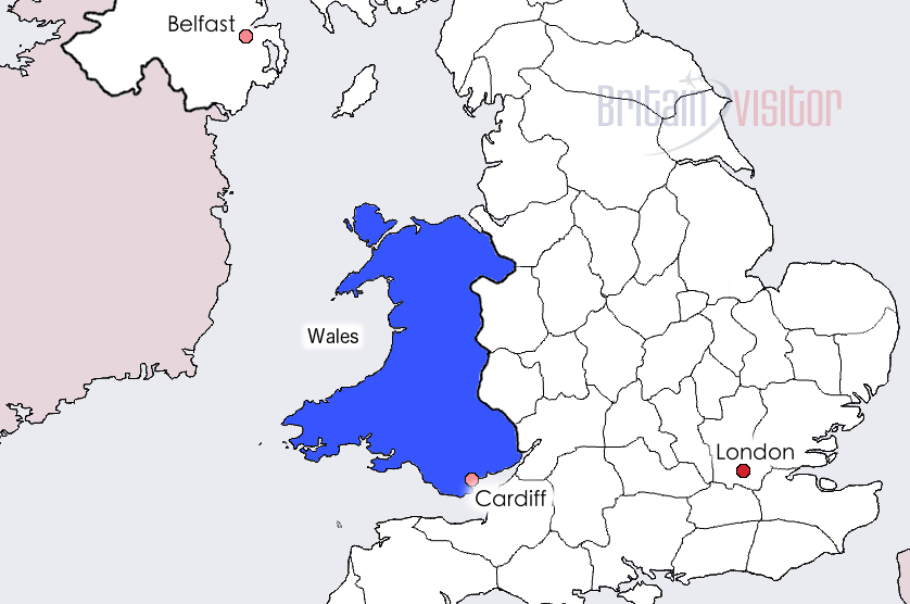
Accommodation in Wales
Book Hotels in Cardiff - Booking.com
Find Hotels in Swansea - Booking.com