Maps of Britain: Map of Cardiff and the South of Wales
South Wales Map
See a map of Cardiff and South Wales.
Cities, towns and regions shown on the map include Cardiff and south Wales. The area is easily reached from the nearby cities of Cardiff, Swansea and Aberystwyth in Wales and Bristol, Bath and the Cotswolds in England.
Places on this map of Wales include the various Roman remains in Caerleon including the National Roman Legion Museum, Roman Barracks and the excellent Roman Fortress Baths Museum.
Caerphilly Castle is an historic castle built by Gilbert 'the Red' de Clare, a powerful Norman nobleman.
Other attractions in South Wales are the Museum of Welsh Life near Cardiff, Tintern Abbey and the Monnow Bridge - the only surviving medieval bridge in Britain with a gate tower standing on the bridge.
Close to the Wye Valley are a series of castles, Grosmont Castle, Raglan Castle, Skenfrith Castle and White Castle.
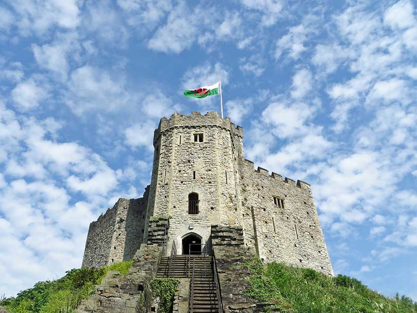
Other places featured on the map are National Museum Cardiff, Cardiff City Hall, Cardiff Castle, Clock Tower and Castle Apartment and others.
Cardiff & South Wales Map Details
Find airports, canals, castles, cathedrals, churches and other places of worship, hotels, galleries, golf courses, lakes, National Trust properties, motorways, mountains, museums, parks (including National Parks), pubs, restaurants, rivers, sports stadiums, stations for both buses and trains as well as universities with further information and images available by clicking on the icons on the map.
Book Hotels in Cardiff - Booking.com
Find Hotels in Swansea - Booking.com