Maps of Britain: Map of Wells & Glastonbury

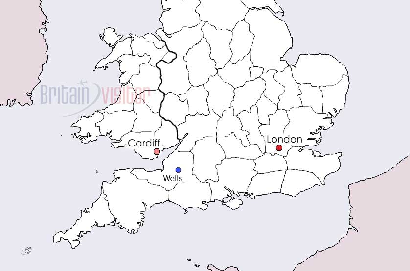
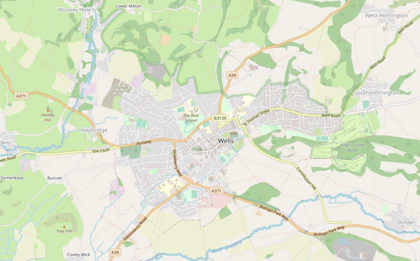
See a map of Wells, located in Somerset in the southwest of England.
Wells is famous for its superb cathedral and Bishop's Palace.
Wells is located south of both Bath and Bristol. The city is also 17 miles west of Frome and 24 miles southwest of Bradford on Avon.
Though no longer on the rail network, Wells is easily reached by bus from either Bath or Bristol.
From the M5 motorway exit for Wells at junction 22.
London is around a two hour drive or a 90 minute train ride from Bath.
Places on this map of Wells include Wells Cathedral, the nearby Bishop's Palace, Wookey Hole, Ebbor Gorge and Glastonbury and Glastonbury Tor.
Places to stay in and around England's second smallest city are the Best Western Plus Swan Hotel, The Crossways, a short distance outside the city and in nearby Glastonbury, the George Hotel & Pilgrims' Inn.
Map Details
Find airports, beaches, canals, castles, cathedrals, churches and other places of worship, hotels, galleries, golf courses, lakes, National Trust properties, motorways, mountains, museums, parks (including National Parks), pubs, restaurants, rivers, sports stadiums, stations for both buses and trains as well as universities with further information and images available by clicking on the icons on the map.
Maps of Wells
Hotels in the UK
Book Hotels in England - Booking.com
Find Accommodation in London - Booking.com
Search Hotels in Scotland - Booking.com
Hotels in Northern Ireland - Booking.com